

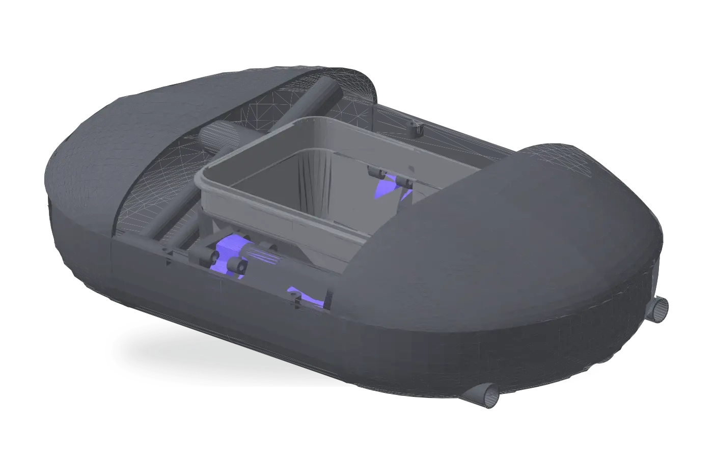
Agami measures nitrate, conductivity, turbidity and water temperature, and links valid measurements to location and time.
A simplified aerial river journey from a mountain source through a wooded valley, lowland river and runoff zone to the coast. The blue route remains visible as it progresses.

CONTINUOUS, LOCATION-LINKED MONITORING
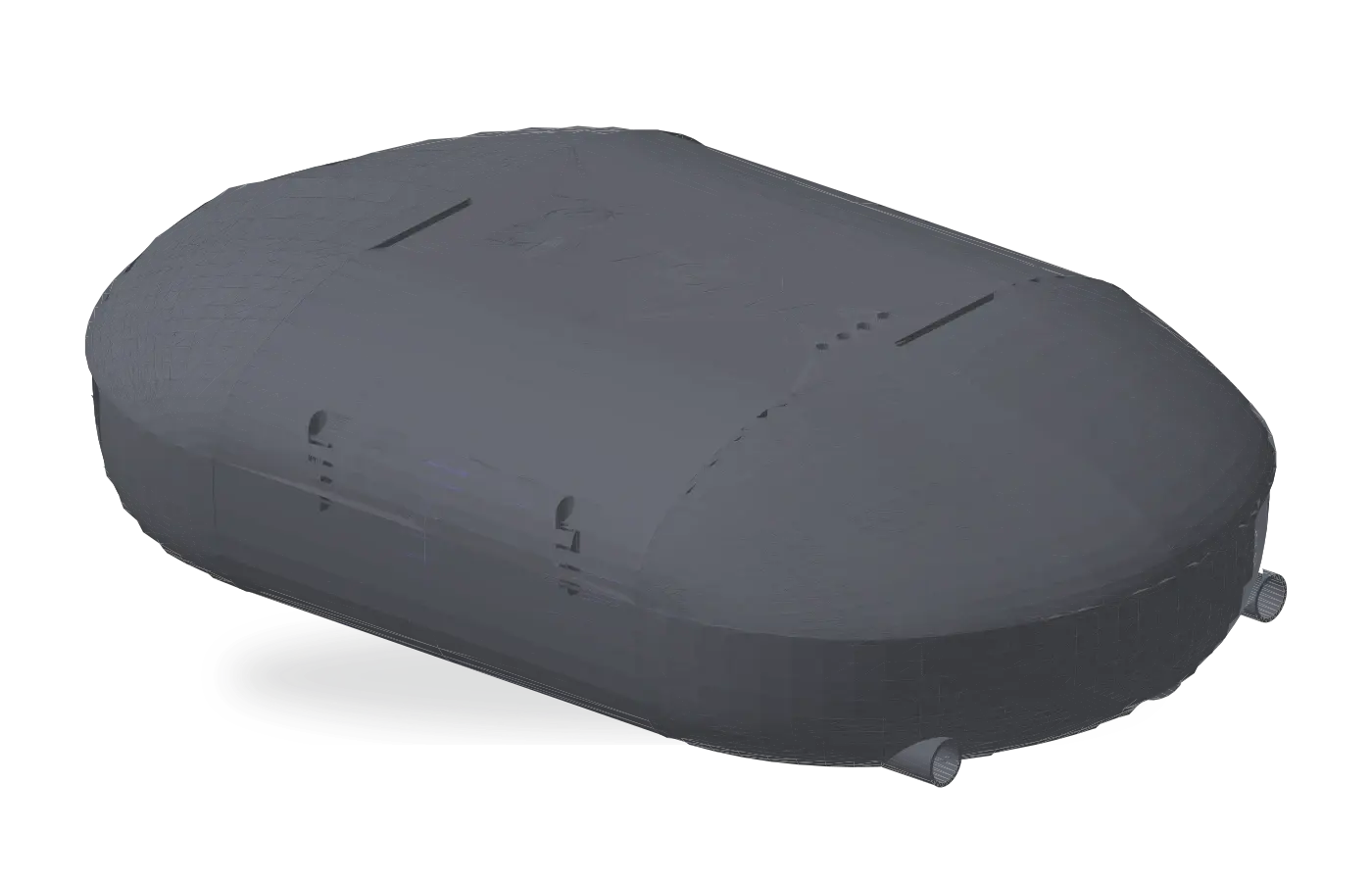
Agami: the semi-autonomous river-monitoring vessel.
Agami collects continuous, location-linked water-quality measurements while travelling downstream. The resulting route data helps targeted follow-up investigations.
WHY CONTINUOUS
A few samples cannot explain a whole river.
Fixed-point sampling remains essential, but conditions can change between locations. To solve this Agami collects data across the stretches between established sampling locations.
AGAMI CAPABILITY ATLAS
A clear view of the system.
HOW A MONITORING RUN WORKS
One route. Six connected moments.
- 01Select the river stretch
The monitoring team selects the river stretch and defines the upstream deployment and downstream recovery points.
- 02Deploy upstream
Agami enters the water at the selected upstream point.
- 03Drift and measure
Agami drifts with the current while measuring nitrate, conductivity, turbidity and water temperature.
- 04Transmit live data
GPS position and sensor readings are transmitted over LTE throughout the monitoring run.
- 05Recover downstream
Agami is recovered at the defined downstream location.
- 06Review mapped readings
Location- and time-linked measurements are reviewed across the completed route to focus follow-up investigation.
FAQ
Frequently asked questions
HeronContact
Follow the signal. Focus the response.
Contact Heron to discuss a river-monitoring operation, Agami rental, or questions about continuous, location-linked monitoring.
Contact Heron